The Kalamazoo River is the heart of the Kalamazoo River Watershed Council’s focus, and features many miles of enjoyable recreational paddling across its entire length. The lower section from below Lake Allegan to Hacklander Landing is designated as a state Natural River and offers very nice paddling with minimal development. Sections closer to Battle Creek and Kalamazoo also offer opportunities to step into a more natural world just a short distance from these larger urban areas. However, it’s important to get up-to-date information ahead of time on construction, river sediment dredging, and other factors that can affect river travel, and the KRWC can help. Paddling upstream reaches of the river near Albion provides a chance to experience a smaller stream environment where the river begins to “gather steam” as it rolls downhill toward its Lake Michigan destination. Be sure to also paddle the last several miles of the Kalamazoo from New Richmond to Lake Michigan to fully appreciate the journey that this waterway and its people have traveled for millenia. And remember that Morrow Lake and Lake Allegan offer easy paddling opportunities, with no vehicle shuttling required between upstream and downstream locations.
Want a virtual sneak peak of some recent paddling experiences at a few locations? Check out these links:
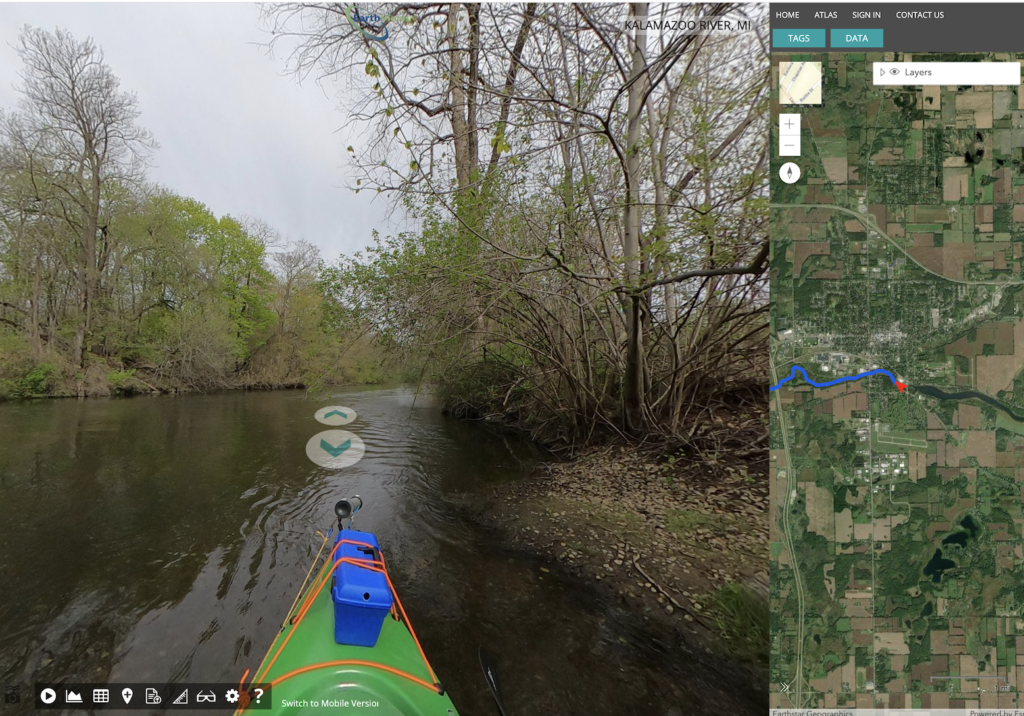
Marshall to Ceresco, May 6, 2023, 360-degree Virtual Tour
Thanks to our partnership with Fishviews, Inc. (Earthviews). This stretch of river includes shoreline adjacent to the proposed Marshall Megasite, the mouth of Talmadge Creek (the site of the 2010 Enbridge oil spill), features from the restoration of the river including engineered riffles, root wads placed along the river to stabilize the shoreline, and shoreline vegetation planted after the Ceresco Dam was removed in 2013. Take a look at our water quality sensor data, too, collected while we were kayaking the river!
Otsego to Trowbridge Dam, October 5, 2022. Google Map
With links to our 360-degree YouTube videos with trip data overlays, or view the video series from this trip on our YouTube channel (krwccoordinator).
View the map in a separate window | View YouTube play list
More Information for Paddlers
The map below contains about 50 access sites along the river, with very helpful information about put-in and take-out points, miles between access locations, parking information, and more.
View the map in a separate window
View the other river trails as well:
And explore the various ways to support the Kalamazoo River Watershed Council today!
